For this assignment I created a geographical map using a public dataset with rest stop addresses and tableau to showcase the location of counties in Florida that contain highway rest stops.
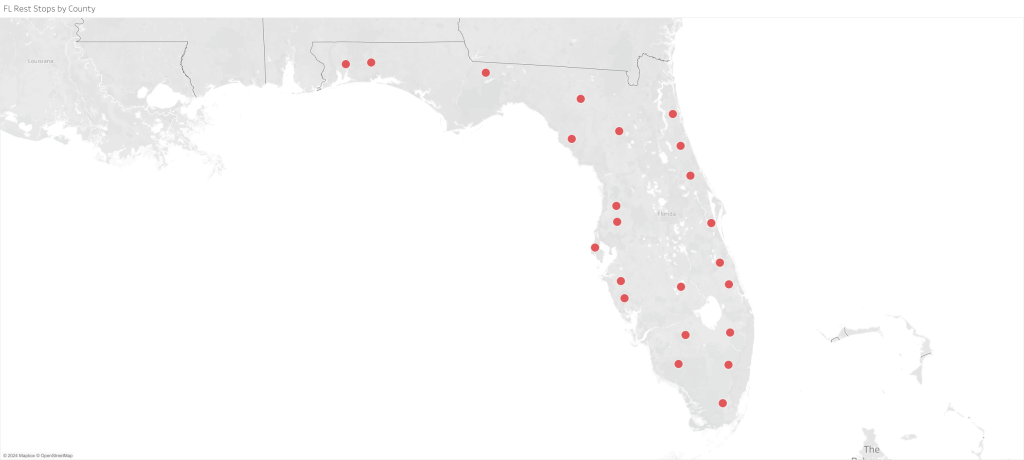
For this image I decided not to showcase every individual rest stop point because I did not want the map to look overcrowded and hard to read. So, I instead focused on the counties in which the rest stops were located. I wanted the points to be large and obvious so that the viewer could visualize the approximate distance between the counties. I believe I may be able to improve the visual by adding lines that connect the dots to one another so that the viewer may be able to better understand how to plan a road trip according to how the rest stop regions are connected to one another.

Leave a comment